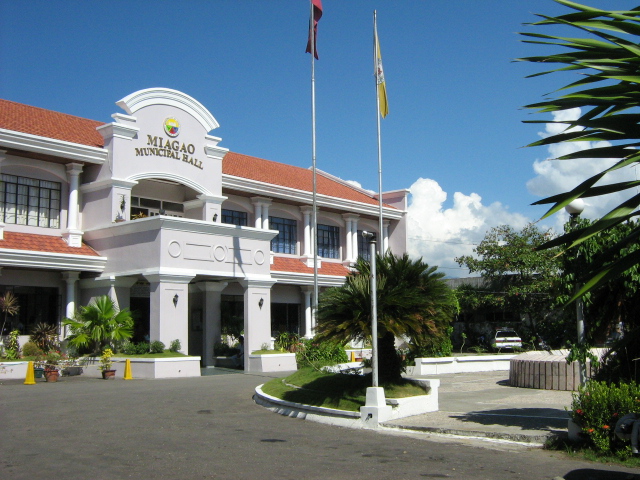
About Miagao
PHYSICAL RESOURCE PROFILE
The Municipality has a total land area of 15,722.04 hectares. The poblacion, composed of eight (8) barangays, has an area of 299.54 hectares and the remaining 111 barangays has a total area of 15,422.50.
Miagao, a brief History
Miagao became an independent Municipality in 1716. It used to be a part or arrabal of four (4) different towns. Record shows that before Miagao became a town, it was an arrabal of Oton until 1580; of Tigbauan until 1952; of Suaraga or Suaragan (now San Joaquin) until 1703; and of Guimbal until 1716 when it became an independent town. It was until 1731, however, when Miagao had its own head. Read more: Miagao, a brief History
Municipal Profiles
Religious Heritage
Historical Heritage
News & Announcement
Miagiao, Philippines
Read More About Miagao
A total of 253 Miagaowanons grinned from ear to ear as they proudly rode away on their new electronic bikes, courtesy of Congresswoman Doc Nanay Janette Garin.
The excitement was evident as each resident embarked on a journey of modern mobility, their happiness reflected in the gleaming surfaces of their new rides. CONGRATULATIONS!
Bantay Kalusugan Batch 3, June 17-20, 2024.
Dr. Rhea Palacios is spearheading the Municipal Health Office’s Municipal Nutrition Council in satisfying the needs of the evaluators of the regional MELLPI Pro on June 21, 2024.
The MELLPI Pro serves as the crucial monitoring and evaluation mechanism for the effective implementation of the Philippine Plan of Action for Nutrition at the local level. According to Dr. Palacios the evaluation will not only be a test of their current efforts but...